Crisis Response
Response to Waverly Floods
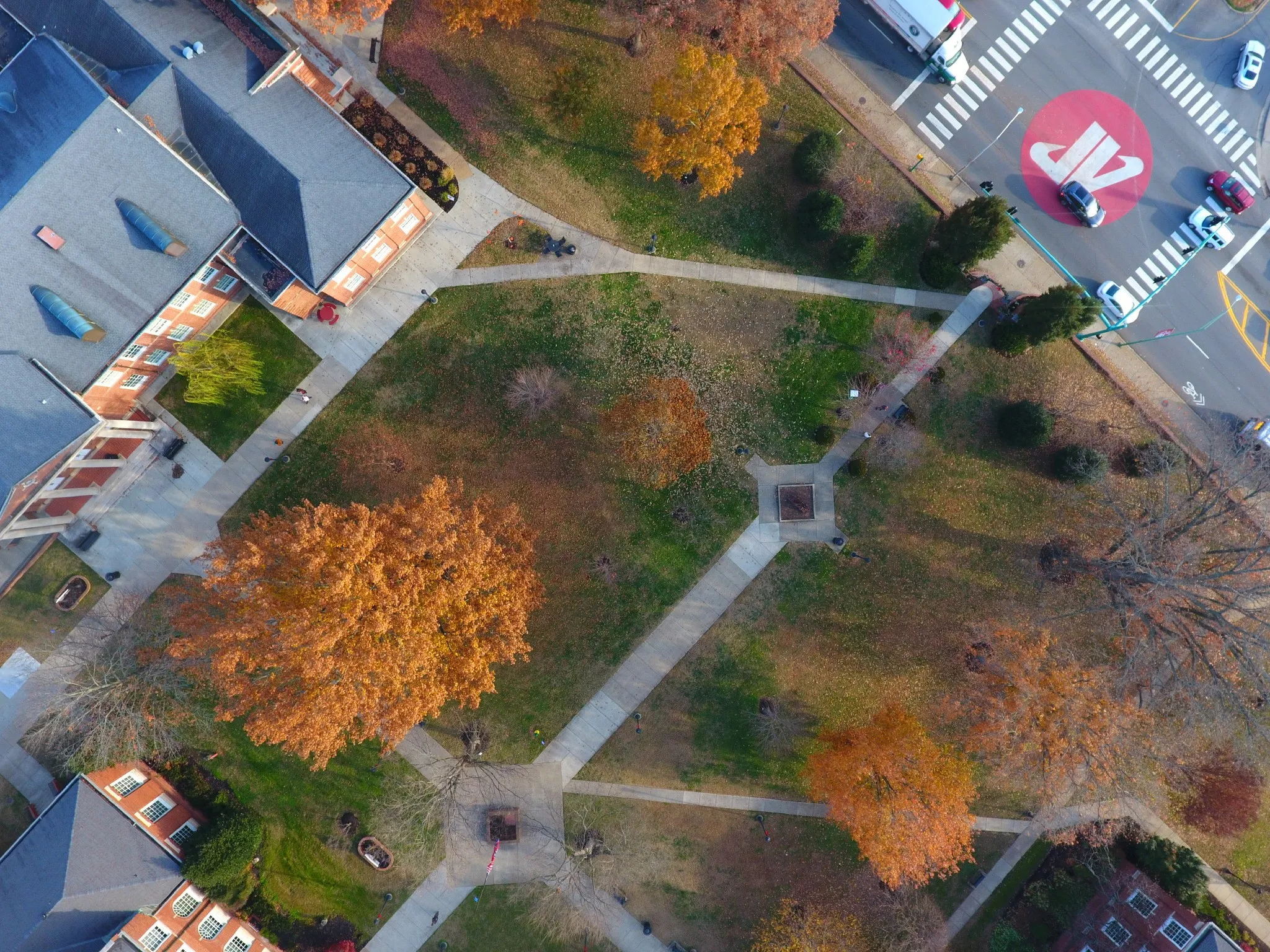
Deployed rapid mapping teams to Humphreys County to assist emergency ops and assess damage after historic flooding.

Beyond maps and data, we are driven by a mission to serve our community. From crisis response to innovative research, our work makes a tangible difference.
Deployed rapid mapping teams to Humphreys County to assist emergency ops and assess damage after historic flooding.
Led a statewide effort to 3D-print and distribute thousands of face shields to frontline medical workers during the pandemic.
Partnered with Habitat for Humanity to create immersive 3D virtual tours of home designs for prospective homeowners.

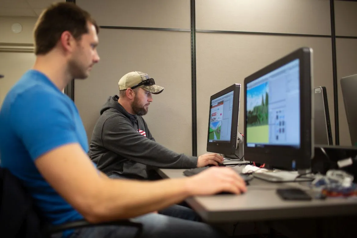
Collaborated with Vanderbilt University researchers using LiDAR to analyze traffic patterns and improve pedestrian safety.
Esri
Recognized for outstanding work in the GIS field.
Clarksville Chamber of Commerce
For dedication to public safety and disaster response.