
Real-World Solutions. University Powered.
The APSU GIS Center delivers cost-effective, data-driven strategies for Tennessee and Kentucky communities.
Population Growth
12.4% ↑ 5yr
Projects Completed
450+ Total
Supporting 20+ regional agencies with custom geospatial solutions.
Student Interns
25 Active
Providing real-world GIS experience to students across disciplines.
Project Portfolio
See how our students and staff leverage advanced technology to solve real-world problems.
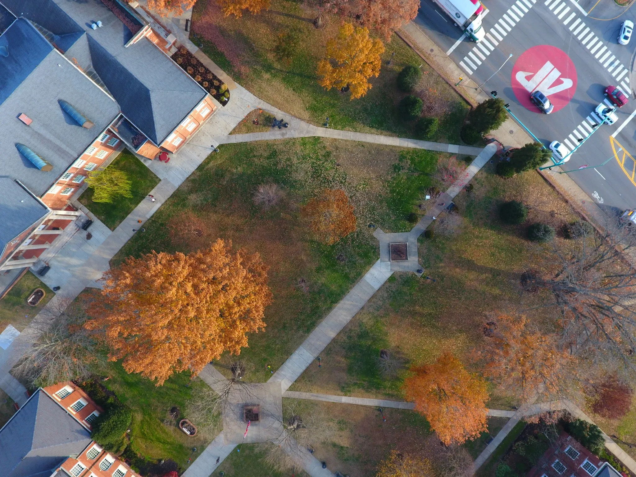
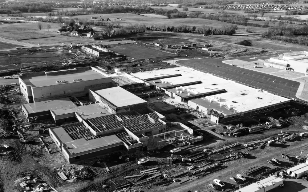
Aerial Drone Mapping
High-resolution orthomosaics and surveying.
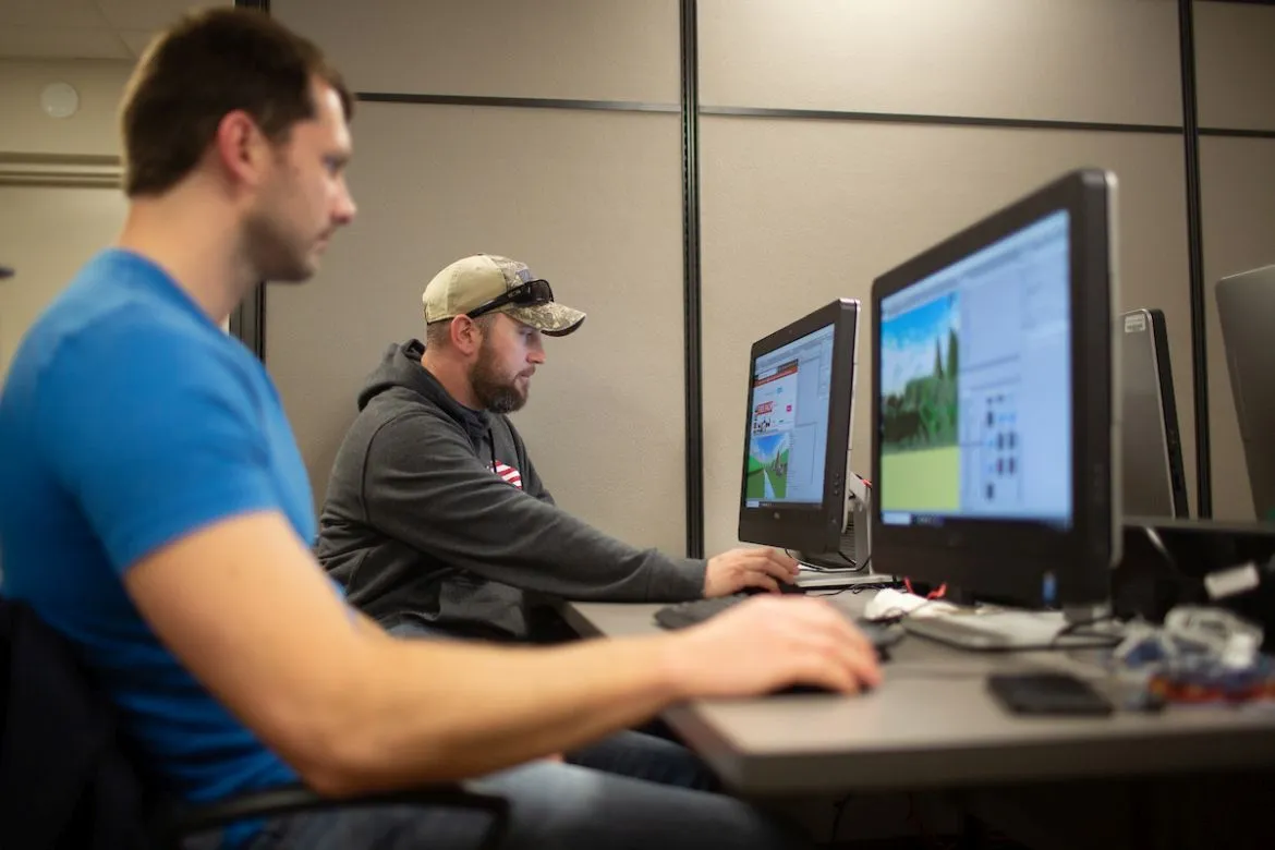
Immersive VR Lab
Cutting-edge virtual reality simulation and training.

Campus Intelligence
Detailed mapping for facilities and safety.

3D LiDAR Scanning
Digital twinning for historic preservation.
30+
Community Partners
5k+
Data Layers Managed
1.2k
Square Miles Mapped
100+
Students Trained
Core Services
We provide comprehensive geospatial solutions for campus, community, and commercial partners.